West Virginia is home to some of the most beautiful scenery in the country. So when TrailLink described this trail as “picturesque” and “rough”, I knew I had to make the trip. I waited until we had a few solid days of warm, dry, weather, loaded up the Forester, an made the 3-hour trek into Thomas.
It was absolutely, positively worth the drive. It was even worth dealing with I-81!
History
Blackwater Canyon is an eight-mile gorge in eastern West Virginia. In 1888, Henry G. Davis — a local political and industrial powerhouse — brought the West Virginia Central & Pittsburg Railway (SIC) to the area. In fact, the towns of Davis WV and Thomas WV were named after Henry and his brother Thomas. The railroad ultimately became part of the Western Maryland Railroad, and the remains of the Black Fork Grade lay the groundwork for today’s Blackwater Canyon Trail.
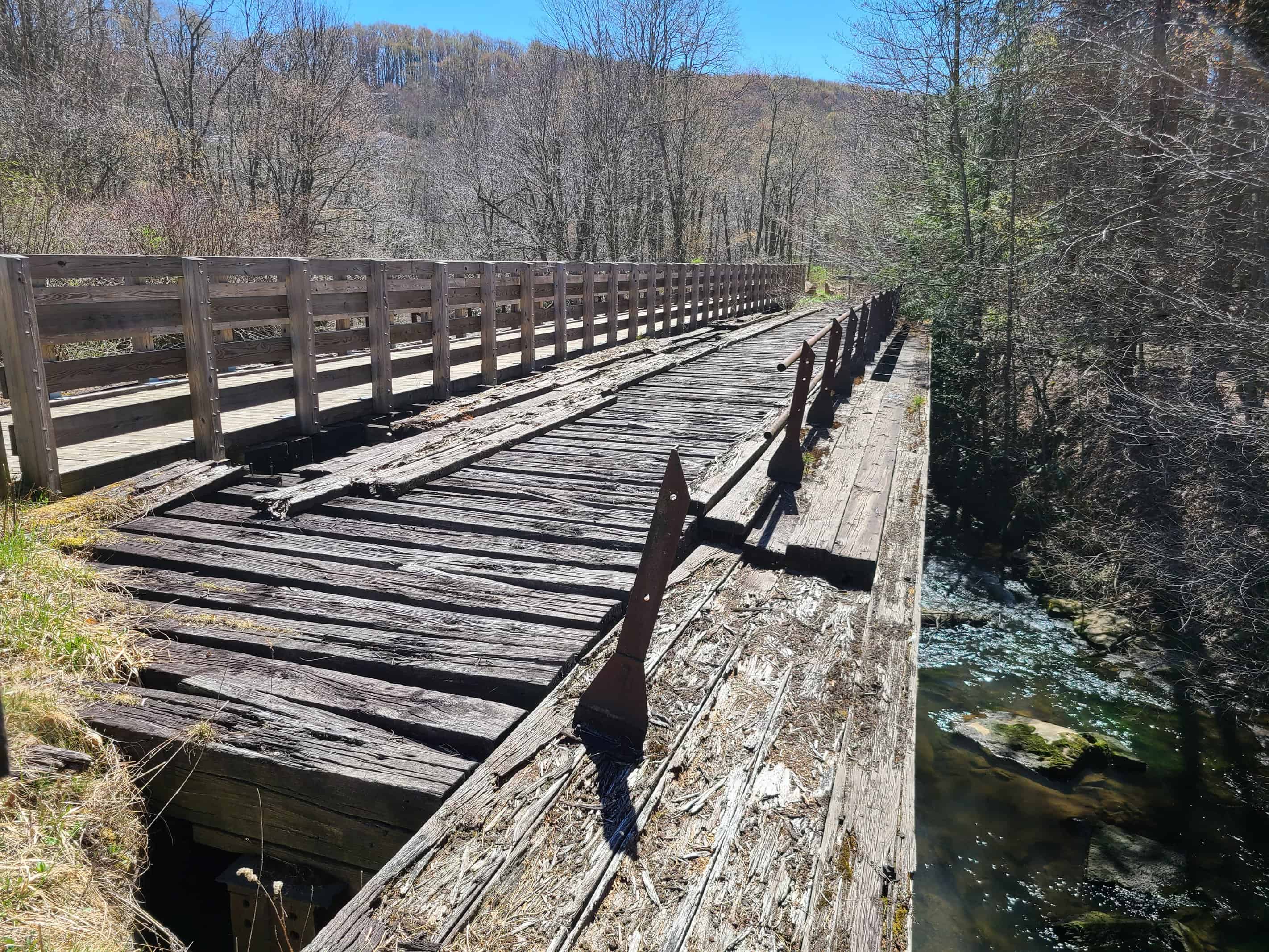
Industry was not kind to the valley. Acid mine discharge from coal mining poisoned the river, and extensive timbering obliterated the thick forests. Signs of industry abound along the trail, including abandoned coal mines and concrete structures that once powered an entire economy.
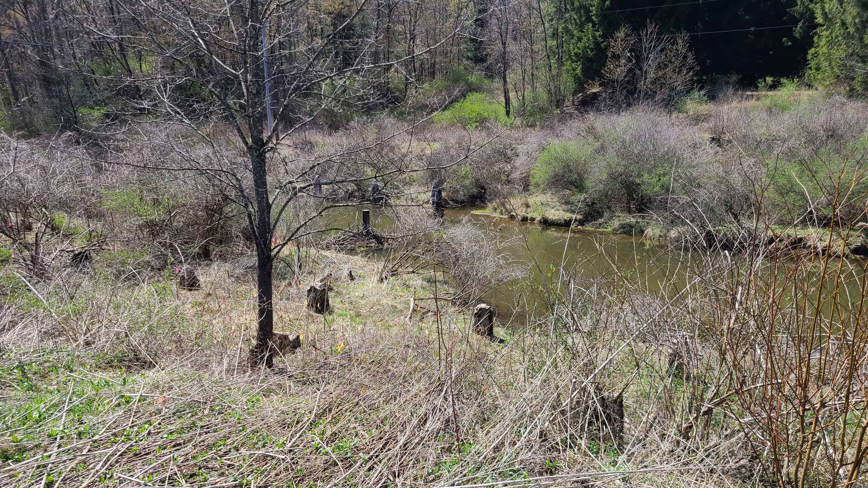
In 1920, restoration of the canyon began with the establishment of the Monongahela National Forest. Today multiple state parks and conservation areas are thriving and the area’s beauty is indisputable. In addition to the trail, year-round activities including skiing and whitewater rafting make this a true destination.
The Trail
The Blackwater Canyon Trail winds along the former Western Maryland railroad bed, offering abundant natural beauty along the way. Along the way you’ll cross multiple waterfalls and take in sweeping views of Blackwater Canyon.
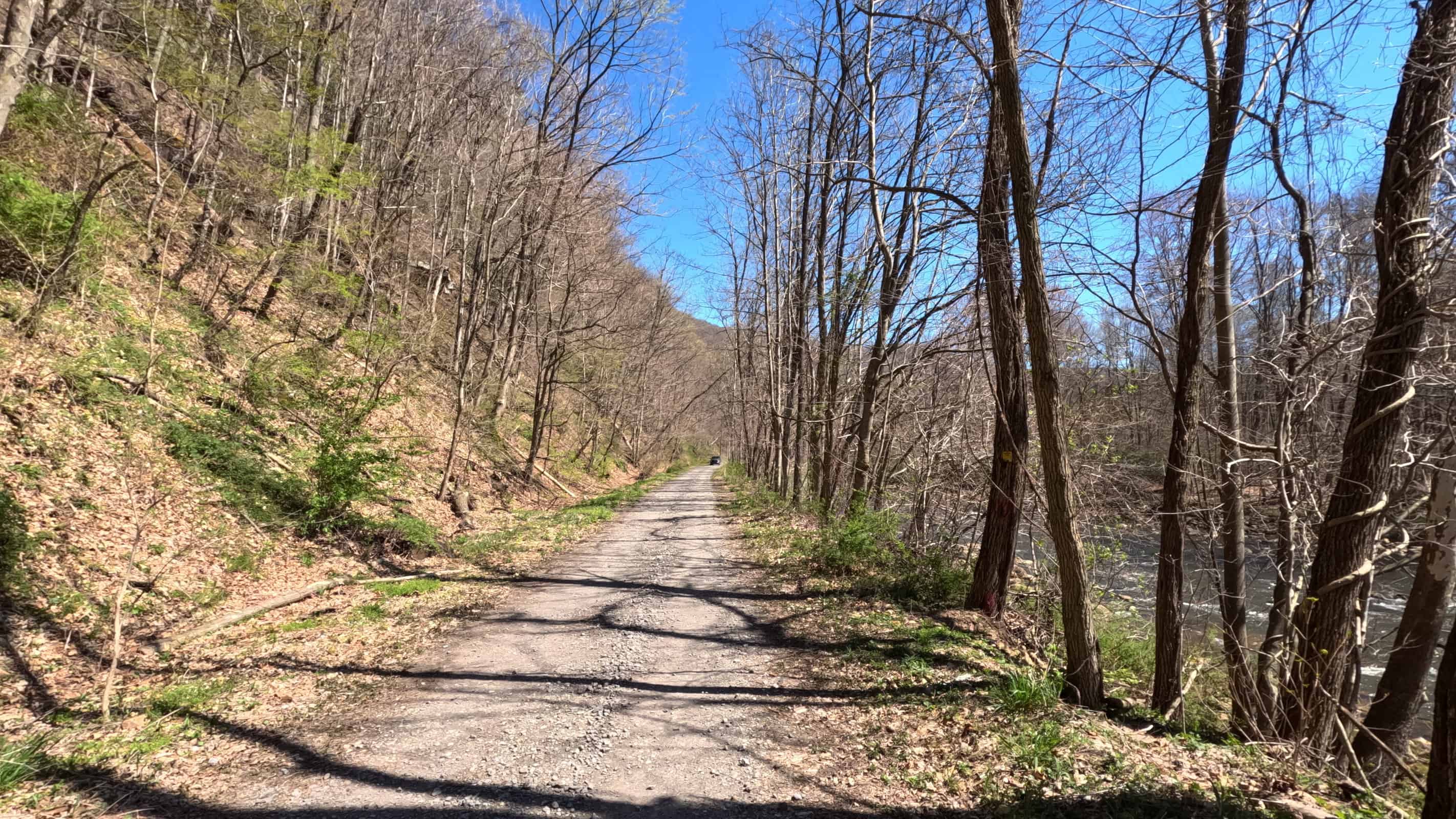
The first thing you’ll see mentioned in any article about this trail is the grade. From the southern trailhead in Hendricks, the grade averages about 2.7% to the northern village of Douglas, with surges as high as 3.5%. From Douglas to Thomas, the grade runs closer to 1%.
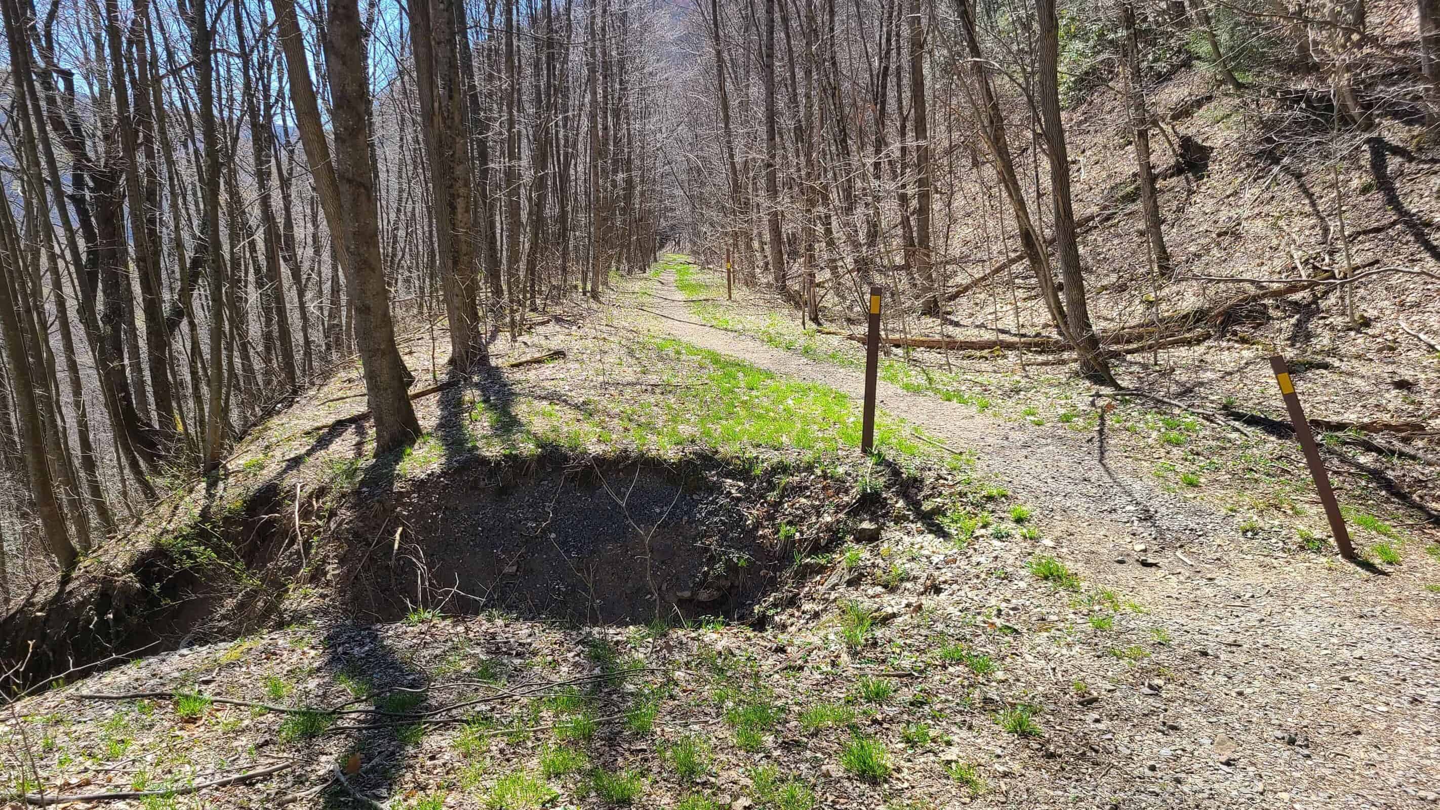
The next thing to mention is the ruggedness. Many rail trails offer wide paths of crushed stone or even pavement. This is not one of those trails. Most of the trail is single track and akin to a walking trail, and the surface is dirt and rock. It reminded me of the Bow Ridge section of the West Penn Trail. There were no major obstacles but you will absolutely need a hybrid or better for this ride. This trail will tear through road bike tires in no time.
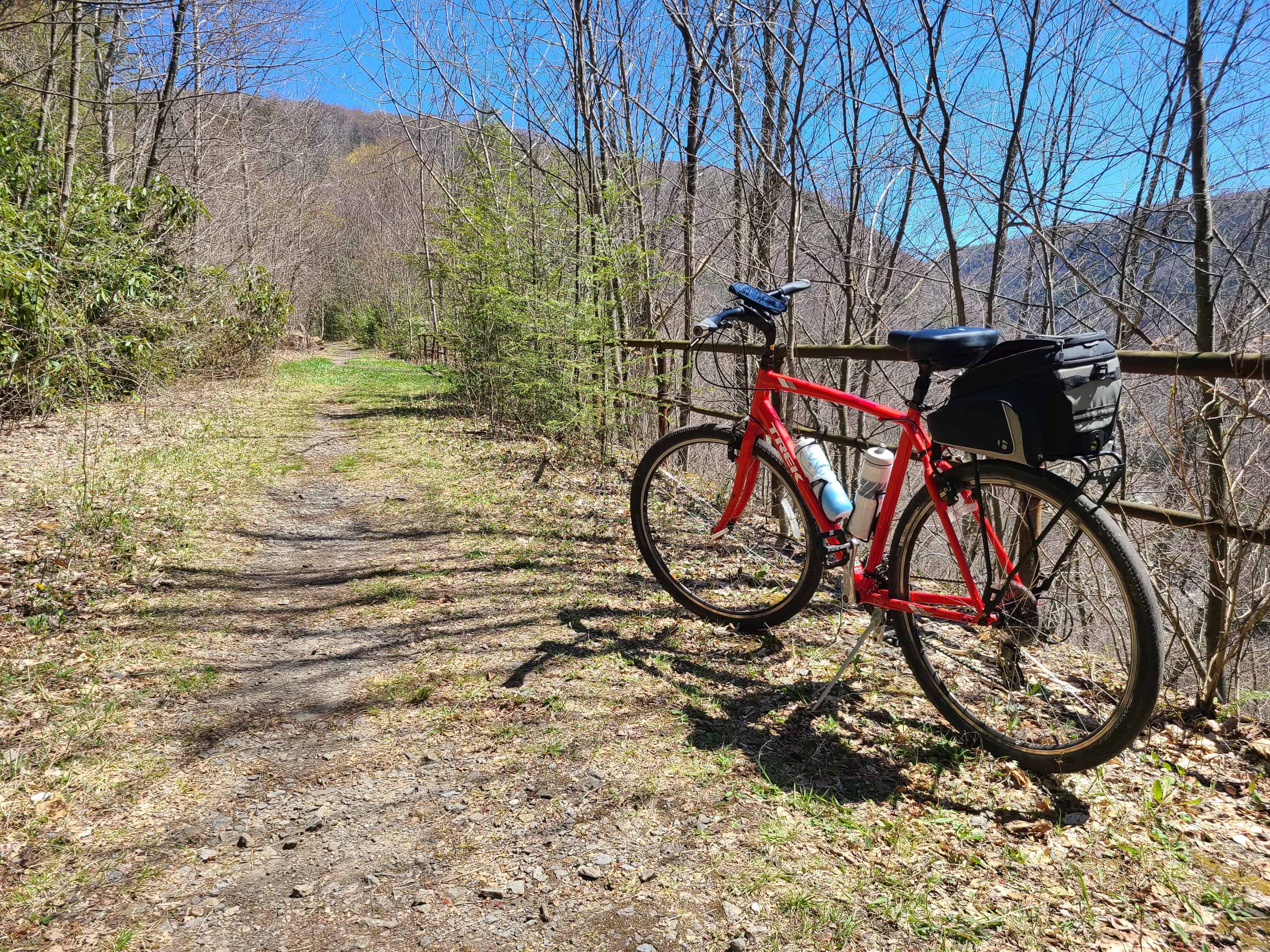
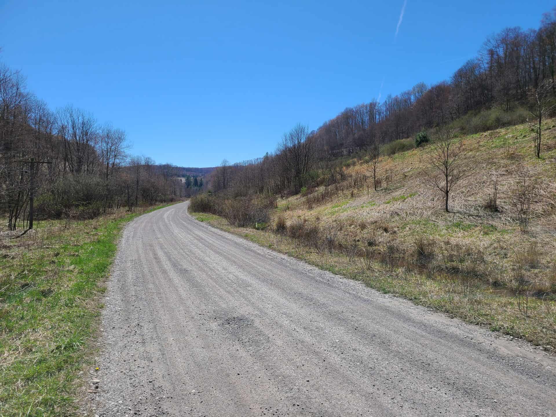
Despite its ruggedness, the trail is still easily accessible even to beginner riders. The cratered dirt roads that make up the first few miles of the trail on both ends require a little extra attention, but the rest of the trail offers easy accessibility to the natural beauty West Virginia is famous for. That said, if you doubt your energy levels or your ability to sustain a 3% climb for a solid ten miles, either ride downhill (Thomas to Hendricks) or plan for lots of breaks.
I Started In Hendricks
Me, planning this trip using TrailLink and RideWithGPS: “3% grade? That’s nothing. I ride that all the time. I don’t see what the big deal is, this is going to be easy.”
Hah!
I started my ride in Hendricks to knock down the challenging part first, then enjoy a relaxing downhill ride on the way back.
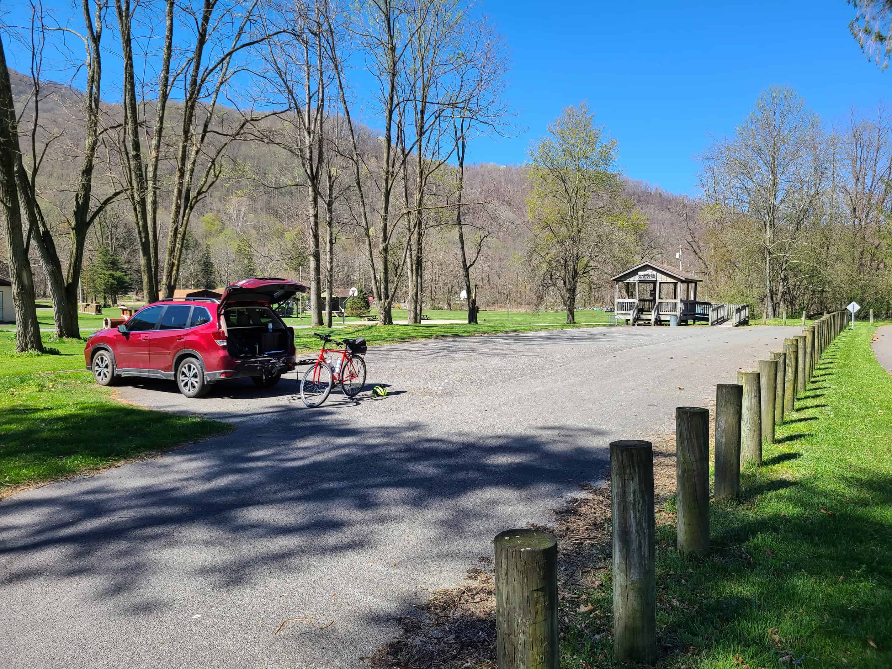
The Hendricks trailhead offers about a dozen parking spots immediately adjacent to the Allegheny Highlands Trail of WV. I saw restrooms but no running water or places to pick up supplies, so come prepared. A few hundred feet east, the well-marked trail leads to the start of the Blackwater Canyon Trail.
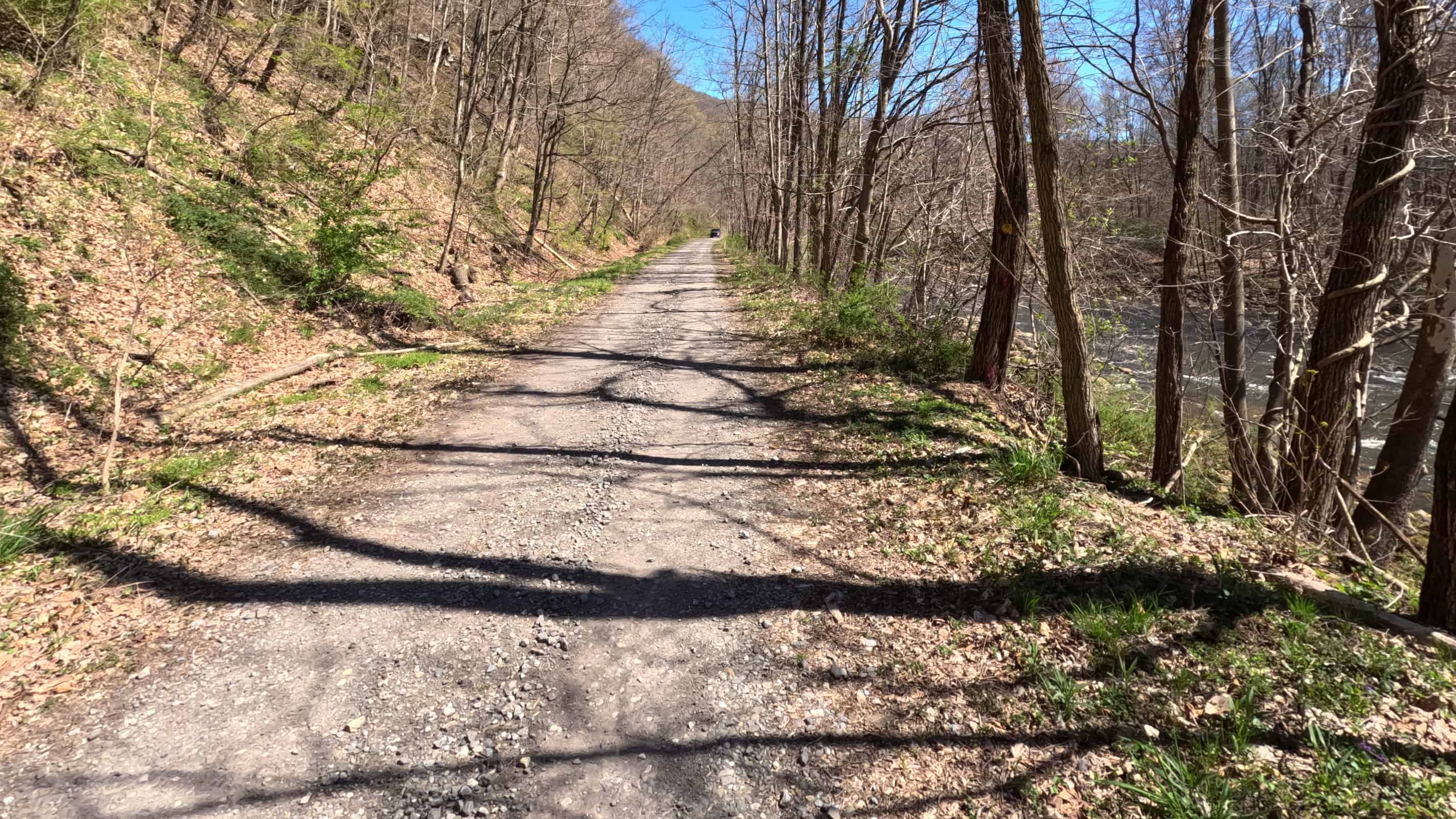
The first two miles of the trail consist of a bumpy dirt road. The Blackwater River is your companion to the right, and this section of the trail is fairly level compared to the rest. But it doesn’t take long for the grade to pick up as the river drifts further and further away.
Soon you’ll come across a gate blocking vehicular access. From here, the trail is mostly single track and unimproved. This is also where the grade really kicks in.
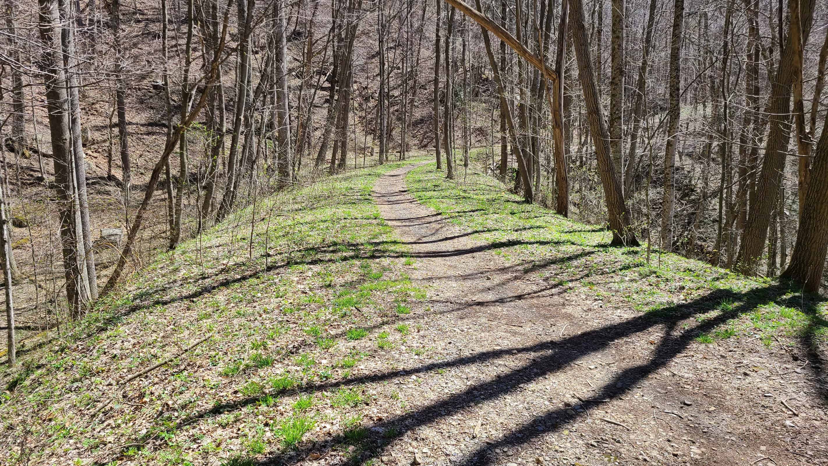
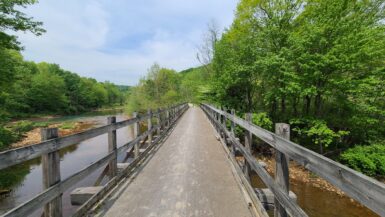
The uphill climb was intense! 3% is nothing, but 3% for ten miles nonstop is a lot. It was a real challenge to hold my speed around 6 MPH. As your elevation climbs, you’ll pass more than a few waterfalls along the way. Most of these are accompanied by very old railroad bridges and culverts. My pictures don’t do any of these justice; the beauty is absolutely pristine!
After passing through mile after mile of unparalleled beauty, you’ll cross another metal gate near Douglas Falls. Don’t be surprised if you see people swimming there — it’s a popular place. The gate marks the transition to the third and final segment: another dirt road.
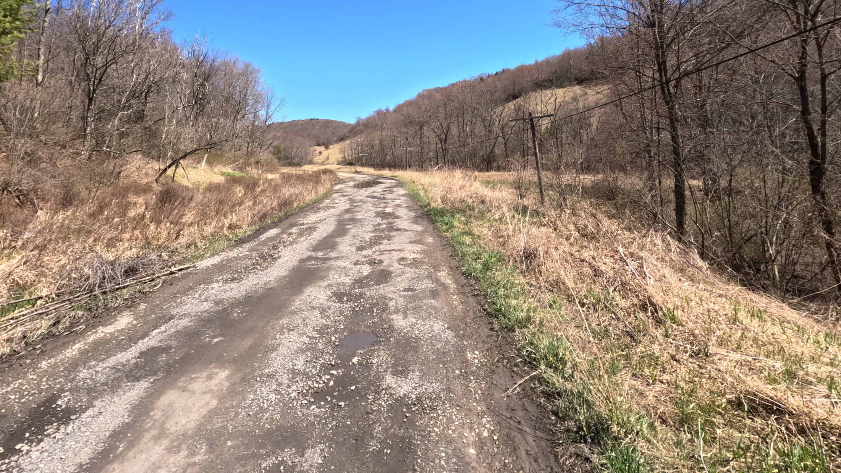
This cratered road winds through the remains of old industrial sites, including coke ovens, rail yards, and coal mines. Placards line the road explaining the significance of nearby sites. From here, it’s only about three miles to the town of Thomas.
Thomas & Davis
Thomas is an amazing midway point for anyone riding this as an out-and-back. It’s a charming small town with a vibrant collection of restaurants, stores, and art galleries. From wood-fired pizza to comfort food with a side of live music, I had no trouble finding decent food even during my off-peak midweek visit.
I stopped in at The Purple Fiddle for this simple but filling Italian sandwich:
Parking at the Thomas trailhead is beyond ample; I can’t imagine this ever approaching half capacity, even on the busiest day of the year. There are a handful of bike racks, and although the town seems safe enough, I’d recommend bringing a bike lock. There really isn’t any place to safely park a bike along the main street, and the racks are out of sight from all the downtown businesses.
About three miles southeast of Thomas is the town of Davis. Like Thomas, it’s a small town that caters to those enjoying all the nearby outdoor attractions. For this adventure I stayed at The Billy Motel & Bar:
Both of these towns had so much to offer that I’m going to make a second post focused entirely on them.
The Downhill Coast
After strolling the town of Thomas, I got moving and began the downhill trek to the southern trailhead in Hendricks. On the dirt road section, the downhill grade was immediately helpful. I didn’t have to pedal at all until I reached the southern road segment!
And therein lies the problem.
In online trail communities across the country, speed limits for bikes is a perpetual hot topic. Most people seem to agree that 15 MPH is a fair top speed. But to hear others describe it, bikes are rocketing down the trails at five times the speed of light, killing trillions of innocent grandmothers daily. I personally stay mindful of other users of the trail — especially headphone-wearing pedestrians who are oblivious to their surroundings — but I’d be lying if I said I don’t enjoy the speed that comes with a good downhill segment.
So I was pretty excited to watch my speed tick up … until I hit about 11 MPH. At that point I heard a sickening series of rapid-fire crunches as my phone got repeatedly slammed into the handlebar. The trail is so bumpy that starting around 10 MPH, the vibrations will attempt to disassemble your bike for you.
It’s still an enjoyable ride, and was a very welcome break from the uphill trek. But for better or for worse, unless you’re rocking heavy suspension with literally the fattest bike tires ever made, this trail has an immutable speed limit of about 10-ish.
Conclusion
The Blackwater Canyon Trail is worth the trip. Not only for its rugged beauty and super welcoming towns, but because it can be a gateway to the rest of what the region has to offer. My wife and I are already planning a return trip or two later this year, and I can’t wait to see what future adventures bring!
Just make sure your bike is up for the challenge. You’re going to want wider tires (I’m riding 700x45c) and plenty of water for the uphill slog.
Website: https://www.saveblackwater.org/trails
Friends of Blackwater: https://www.facebook.com/SaveBlackwater
TrailLink Profile: https://www.traillink.com/trail/blackwater-canyon-trail/




Leave a Reply